 Argentina · Terra Vision
TerraView
From reading reports by hand to deciding what to maintain with an executive dashboard.
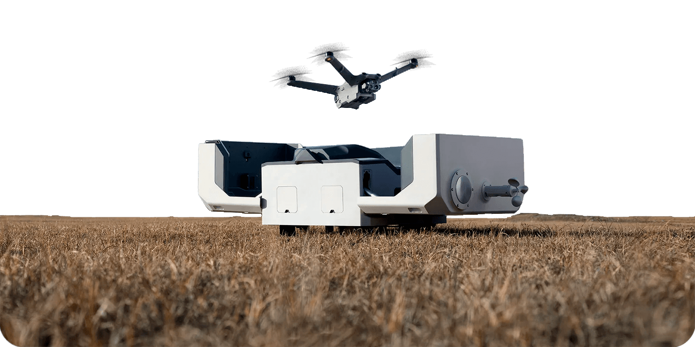
Terravision inspects critical infrastructure with drones and operates vehicles in the field. The images and reports from each inspection lived in folders and manual handoffs, and findings had to be read by hand. There was no single place to follow each inspection, know which findings each asset had, or see where each vehicle was. We built TerraView, a multi-tenant web platform that brings inspections, assets and fleet together in one workspace.

Location
Argentina
Project description
Inspections and assets: assets are organized by category and placed on a map, and drone footage is linked to each asset and inspection. Field operator, quality control, report engineer and administrator move each inspection through its stages, with alerts inside the platform and by email. AXIS: reads each survey report straight from the PDF text, using a template and without running it through OCR. It classifies every finding by severity and links it to its asset. Executive Dashboard: summarizes reports into an asset health index, findings by risk level and a ranking of the most compromised assets. It recalculates automatically with every new report. Fleets: shows the fleet live, replays routes, monitors speed by day and by night, computes geofence entries and exits, and produces trip reports in PDF, CSV and KML.
Tech stack
- GitHub
- TypeScript
- React
- Next.js
- Tailwind CSS
- Node.js
- Prisma
- Amazon Web Services
- Vercel
- PostgreSQL
- Neon
- Clerk
- Resend
Impact
One place where Terravision's team and its clients see the status of every inspection, the overall state of the operation and where each vehicle is. Reports process themselves and are no longer read by hand, without the cost or the errors of OCR. Deciding what to maintain first takes one look at the dashboard, not a report-by-report review.
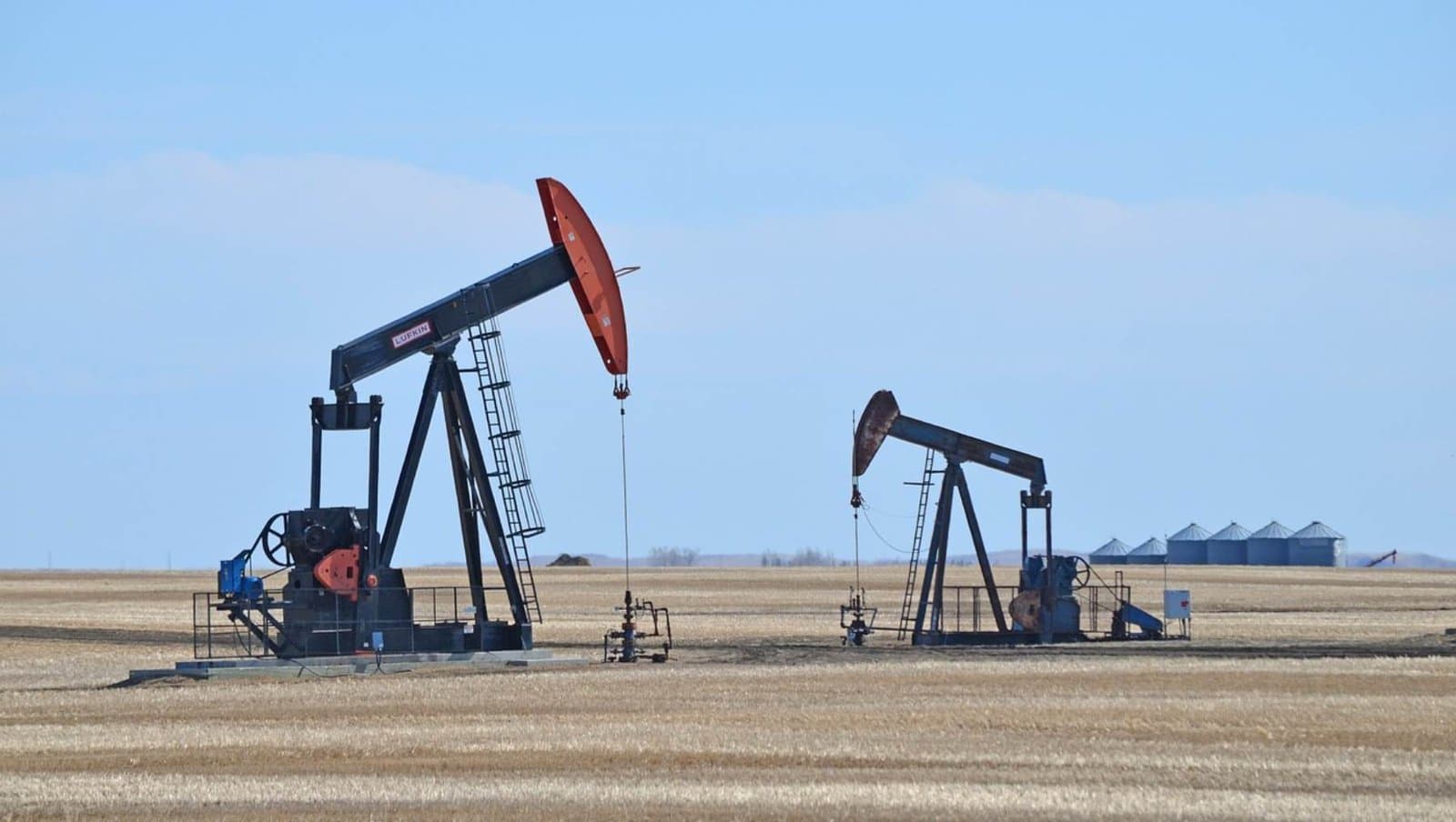
Aerial asset surveys
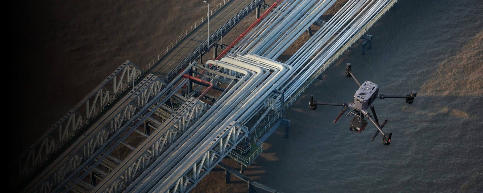
Pipeline inspection
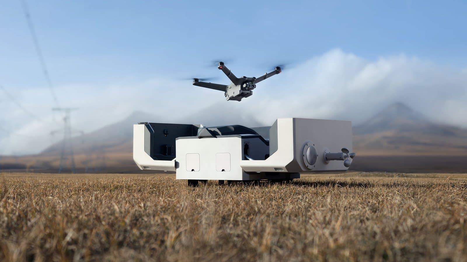
Remote oilfield inspection
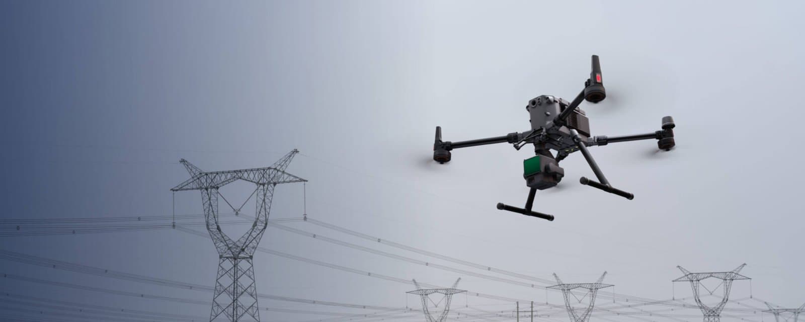
Power line inspection
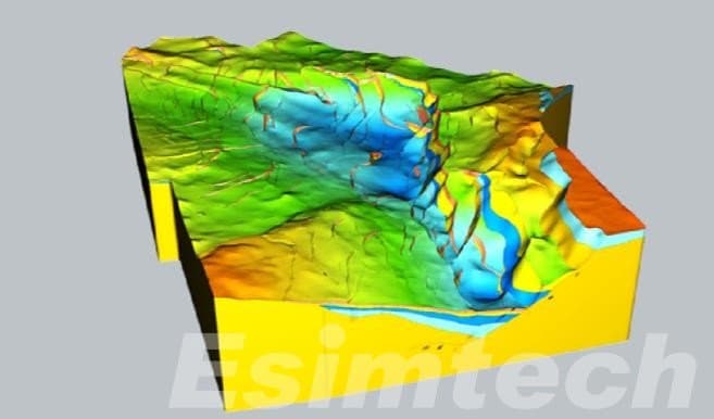
Topography and digital models
Key results
01
More efficient workflows
The report is uploaded to the inspection and processed automatically. Each role sees its stage and gets an alert when it is their turn.
02
Lower cost than OCR
AXIS reads the digital PDF with a template, runs inside the platform and does not depend on per-page OCR services.
03
Faster decisions
The Executive Dashboard shows what to address first, with no report-by-report review.
Dashboard
Estadísticas
Estadísticas
Activos
Totales
130
Energía
130
Petróleo y gas
0
Infraestructura
0
Inspecciones
Totales
9
Realizadas
8
Programadas
1
Pendientes
0
Technical details
Multi-tenant web platform: each organization sees only its own assets, inspections and vehicles. Drone footage is stored on AWS with optimized versions and thumbnails. AXIS extracts findings from the PDF text with templates and severity rules, without OCR. Fleets integrates with telemetry providers for live position, routes and device diagnostics (RPM, odometer, fuel and voltage).